Most flights to Bolivia land in one of two places. The main international airports in Bolivia are El Alto (LPB), on the Altiplano above La Paz, and Viru Viru International Airport (VVI) in Santa Cruz. Santa Cruz has more international flights. La Paz is where most travelers want to be. So the useful question is not which airline flies to Bolivia. It is which end of the country you start at, and which neighbor you arrive from or leave through.
Bolivia combines well with Peru or Chile, and that makes getting there simpler, not harder. Here is how our Bolivia itineraries do it.
Viru Viru sits low, at about 1,220 feet (373 m). The Bolivian daily Los Tiempos calls it the country’s largest and busiest airport. In the October 2026 schedules we checked, it had non-stop flights from Miami, Madrid, Bogotá, Panama City, Lima, Santiago, São Paulo, Buenos Aires and Asunción. Bolivia still has few flights from outside South America: of that list, only Miami, Madrid and Panama City.
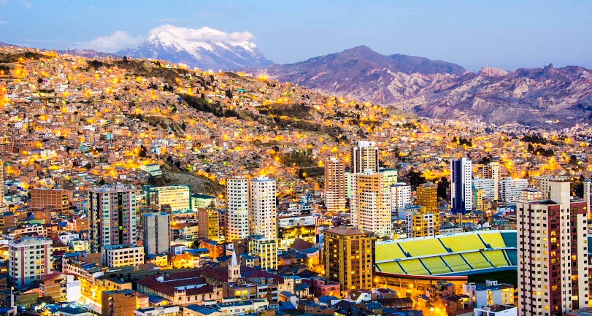
Airbus, which tested its A350 there, calls La Paz one of the world’s highest airports, at 13,300 feet (about 4,050 m). Thin air means longer takeoff runs and slower climbs. That, says Los Tiempos, is why foreign airlines choose Santa Cruz.
What reaches La Paz from abroad, as of October 2026, comes from within South America: Bogotá with Avianca (about 3 h 45 m), Lima with LATAM (about 1 h 55 m), Santiago with LATAM, and Cusco with Avianca (about 1 h 15 m). Expect a short night. October 2026 schedules had the Bogotá flight landing at about 2:20 a.m., the Lima flight at about 3:55 a.m.
Then the altitude. The CDC puts La Paz at about 12,000 feet (3,650 m). Read staying healthy in Bolivia before you choose your arrival city.
From the United States, the non-stop as of October 2026 is Miami to Santa Cruz on Boliviana de Aviación (BoA), about 6 h 50 m. American Airlines, which older guides still list, left La Paz in 2018 and Santa Cruz in 2019. Everyone else connects: in Bogotá (Avianca to La Paz or Santa Cruz), Panama City (Copa to Santa Cruz, about 5 h) or Lima (LATAM to either). From Europe, BoA and Air Europa fly Madrid to Santa Cruz non-stop in about 11 hours.
Santa Cruz also links to São Paulo (Gol and BoA, about 2 h 45 m) and Buenos Aires (Aerolíneas Argentinas from Aeroparque, BoA from Ezeiza, about 3 h). Coming from a neighbor first, see our Peru and Chile flight pages. Entry rules are on the Bolivia visa page.

Our itineraries fly the long hops and drive the scenic ones. On the routes our trips use, two airlines fly as of October 2026: BoA and EcoJet. Amaszonas, the other name in older guides, stopped flying in August 2023, and its operating certificate was suspended that November.
Flight times are October 2026 schedules, rounded. Road times come from our itineraries.
| Leg | Typical time | Notes |
|---|---|---|
| La Paz – Uyuni (UYU) | About 1 h by air | BoA. Uyuni’s only flights in October 2026; from Santa Cruz, connect in La Paz. |
| La Paz – Santa Cruz | About 1 h 05 m by air | BoA and EcoJet. Flown on our Incas, Uros, Gauchos and Cariocas tour. |
| Santa Cruz – Sucre (SRE) | About 45 m by air | BoA and EcoJet. No La Paz non-stop in October 2026; connect in Santa Cruz or Cochabamba. |
| La Paz – Rurrenabaque (RBQ) | About 40 m by air | EcoJet, into the Amazon lowlands. Ask for it in a custom itinerary. |
| Sucre – Potosí | About 4 h by coach | On both of our Bolivia classics. |
| Potosí – Uyuni | Half a day by road | Via the old Pulacayo mine. The Potosí, Uyuni and La Paz extension then flies on to La Paz. |
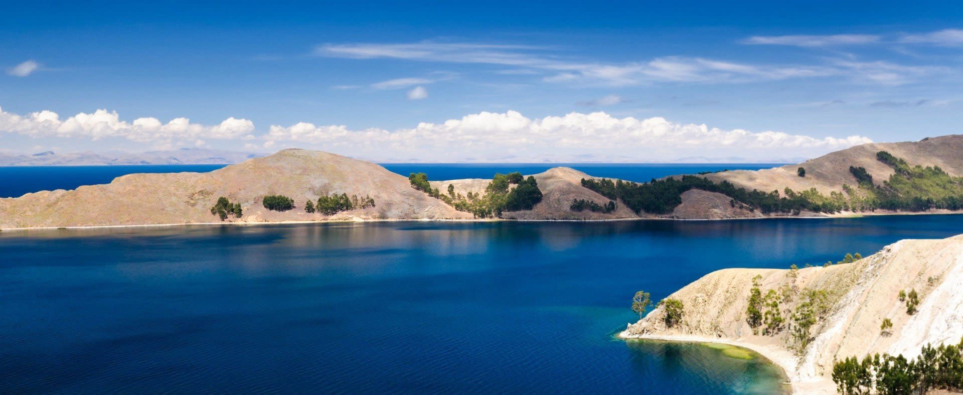
| La Paz – Copacabana | A long day by road and boat | Lake Titicaca and Isla del Sol by catamaran; back that night or a night on board. |
| Puno (Peru) – Copacabana – La Paz | One day by road and boat | Border post at Kasani, between Yunguyo and Copacabana. |
| Uyuni – San Pedro de Atacama (Chile) | Two to three days by road | Salt flat and high lagoons. Border at Hito Cajón, 14,925 feet (4,549 m), small vehicles and minibuses only. |
| La Paz – Arica (Chile) | One day by coach | Down to the Pacific on our La Paz and Atacama Desert tour. |
Give the salt flat more time than the flight: see our Salar de Uyuni tours.
Start with direction, not airline. Our two Bolivia classics run in opposite directions. Classic Bolivia lands in La Paz, flies to Uyuni and goes home from Santa Cruz. Highlights of Bolivia lands in Santa Cruz and climbs by stages, through Sucre and Potosí, before it flies from Uyuni to La Paz. Neither backtracks.
Then look past the border. For Argentina, our co-founder Juergen Keller’s advice is to “think international,” because “a good route for Argentina ends or begins in either Chile or Brazil.” Bolivia works the same way with Peru and Chile. Travels of the Incas comes in from Peru: Puno, the border, Copacabana, Isla del Sol, then La Paz. Our Uyuni and Atacama extension drives from San Pedro de Atacama through the lagoons to the salt flat and on to Potosí; the Magic Triangle of the Andes runs the other way, to San Pedro for Atacama Desert tours and over the Paso de Jama to Salta, the route Juergen names as his favorite.
Then leave room. Juergen’s warning for the whole continent: “Some routes are flown only 3 times a week and easily canceled due to bad weather and bad airport infrastructure.” His answer: “Leave slack in your trip.” In June 2026 Bolivia’s transport regulator, ATT, said road blockades had made jet-fuel supply at El Alto irregular, and the newspaper El Deber reported delays building through the day. Keep a spare day before any international departure, read our Bolivia safety notes on blockades, and look at travel insurance that covers delays.
Our tour prices are shown without flights; international and domestic flights are quoted separately if you ask. The domestic legs depend on the order of your trip, so settle the route first with a custom Bolivia trip.
El Alto (LPB), above La Paz, and Viru Viru (VVI) in Santa Cruz. Viru Viru is the larger, with the Miami and Madrid flights.
One route, as of October 2026: Miami to Santa Cruz on BoA, about 6 h 50 m. American Airlines flew it until 2019. From other US cities you connect, usually in Miami, Bogotá, Panama City or Lima.
Fly into the end where your trip starts. Santa Cruz has more international flights; La Paz puts you at 13,300 feet, often in the middle of the night.
As of October 2026, BoA and EcoJet fly every domestic leg on this page. Amaszonas stopped flying in 2023.
Fly from La Paz in about an hour, drive from Potosí, or come up from Chile through Hito Cajón over two or three days.
Our itineraries reach Potosí by road: about four hours by coach from Sucre, which is 45 minutes by air from Santa Cruz, or from the Uyuni salt flat.